Process
Selection
Every place carries the record of what made it. The work depends on how much of that record the ground still holds, and at what scale.
What I look for is a force that left its evidence in the terrain itself, legible at the size a relief can carry. Sometimes it is the first thing anyone would notice. More often it sits underneath the obvious feature, and finding it means looking at a different extent, a different boundary, or a different measurement than the one the place is known for.
That search is the first work I do, and it matters most when the place comes to me rather than the other way around. A stretch of coast someone has known their whole life has a formation history they have never been shown. The piece begins when that history turns out to have a shape.
Selection is the first act of interpretation. The evidence has to be found in the ground before there is anything to decide.
The record
Elevation and depth data come from USGS, NOAA, GEBCO, and international surveys, sometimes combining multiple datasets where a single source resolves too coarsely for the feature that matters.
The measurement is the beginning of the work rather than the end of it. Where the crop falls, which orientation the piece takes, how much surrounding terrain remains, and how the measured surface is translated into relief are all judgments. Each changes what the work is about.
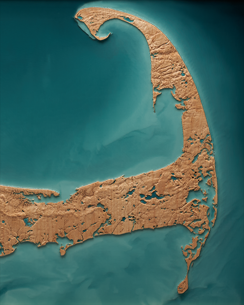
Cape Cod is one example. Its elevations are slight, and a piece built on them alone would say very little. The ground there is porous, so water moves through the cape as much as across it, surfacing inland as ponds, wetlands, and streams. Following that water rather than the elevation places the shoreline inside a hydrological field instead of at the edge of one.
The data establish what is there. The decision is which relationship carries the force.
Material
A substrate can do more than hold a surface. It can carry an idea already present in the terrain.
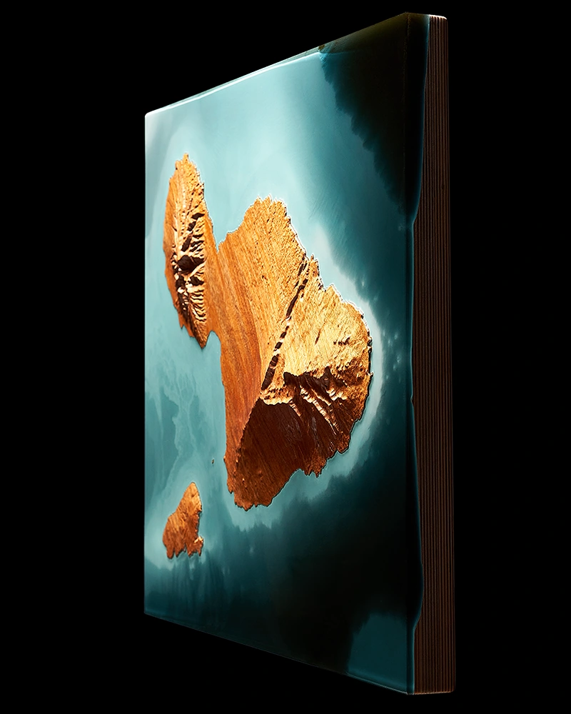
Maui is the exposed crest of a volcanic structure that continues well below the waterline. The piece is worked in koa, a hardwood endemic to the islands it describes, and set in translucent resin without a frame. The resin carries the bathymetry outward past the shoreline, and the open edge keeps a boundary from being imposed on a formation that has none.
Density, grain direction, figure, and the way a species holds an edge determine what survives at the surface. Resin works through tone, depth, and translucency, and color is chosen for what it does to the reading of depth and structure.
These decisions belong to the making. The finished object carries them.
Arrest
What the finished object holds is one state inside a process that continues.
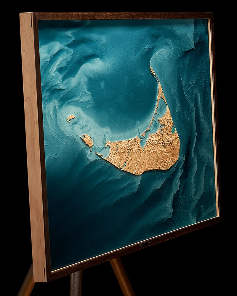
Sea level, the datum every coastal piece is measured against, is itself a moving number. Choosing where to place it means choosing a moment. Terrain above it and ground beneath the water belong to the same continuous surface, divided by a line that has moved before and will move again.
The work stops the motion long enough to be looked at. The place carries on.