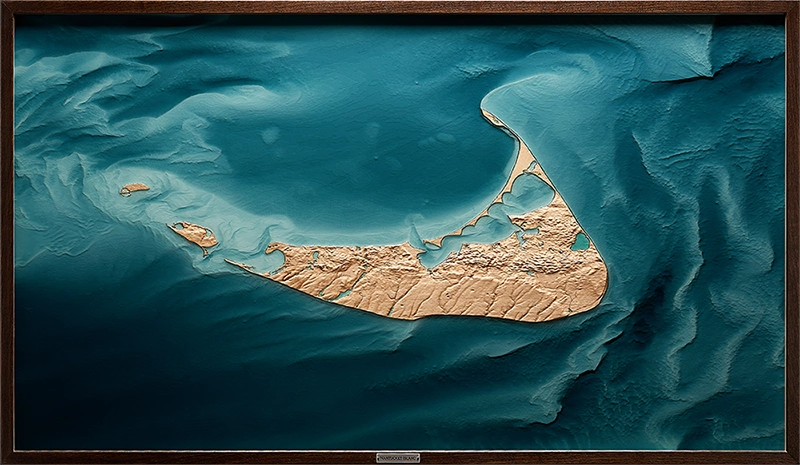
Nantucket Island
Massachusetts
Relief of Nantucket Island, sculpted in maple and held within translucent resin. The wood traces the island’s subtle inland elevations and sand-formed terrain. Resin carries the shoal field beyond the shoreline, where currents work the sand into ridges and channels that continue to move.
Shaping of Place
Nantucket took shape near the end of the last glaciation, formed from sand, gravel, and sediment left behind as ice retreated from southern New England. Its low relief gives the island a different kind of presence: subtle inland rises, broad outwash plains, and a shoreline continually worked by wind, tide, and migrating sand.
The defining geography extends beyond the dry land. Around Nantucket, shoals, channels, and shallow banks make the island part of a larger Atlantic system. Rotary tidal currents keep that edge in motion, shifting sandbars and bathymetric forms through time.
Nantucket relief, full composition.
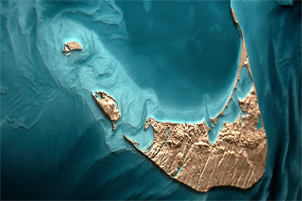
Nearshore shoals beneath translucent resin.
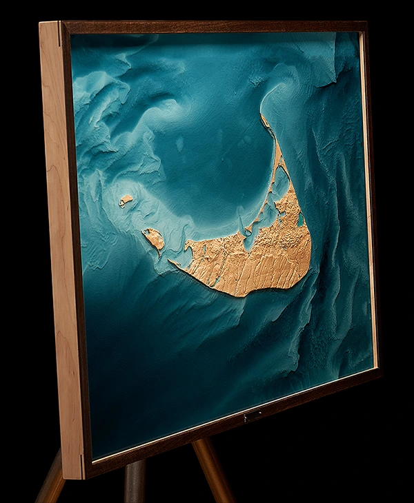
Angled view of the relief.
Nantucket called for restraint. The island sits low and subtle, shaped more by shifting sand than elevation, so the relief needed to come through surrounding depth.
Water became the organizing presence of the piece. Sandbars, tidal channels, and nearshore bathymetry carry the larger story of the forces that continue shaping the island’s edge.
In the resin, depth and movement remain present while the surface stays quiet.
Artist's Note
On view — Thomas Macy Gallery, 12 Straight Wharf, The Thomas Building, Nantucket. Inquiries to Marcus Foley.